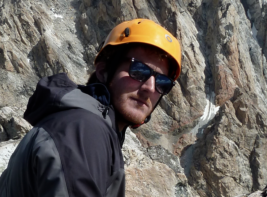
Kirk Schleiffarth (fromschlifeisgood) was gracious enough to share he adventures battling volcanos in Mexico. Kirk is a graduate student at Washington State University doing a MSc in volcanology. Kirk is an avid mountaineer, socialite, and troubadour. Thanks Kirk for sharing.
Isla de Socorro, Mexico
Socorro Island is 650 kilometers (~400 miles) due west of Manzanillo, Mexico in the Pacific Ocean. It is a volcanic island, which stands 1050 m above sea level and 4000 m above the ocean floor. The volcano most recently erupted in 1993 in a submarine flank eruption, where large amounts of pumice were found floating off the western shore of the island.
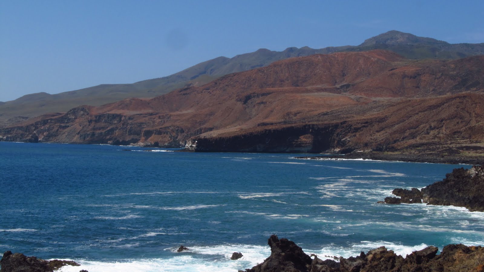 |
| Isla de Socorro, Mexico |
The volcanic islands off the coast of Mexico were formed as part of an archipelago located on the northern Mathematicians Ridge. This abandoned mid-ocean ridge was largely abandoned about 3.5 million years ago when ocean spreading shifted to the East Pacific Rise. The Isla de Socorro is the only seamount in the Pacific composed dominantly of silicic peralkaline volcanic rocks. This is in contrast to the majority of volcanic islands which are predominantly ocean island basalts (OIBs).
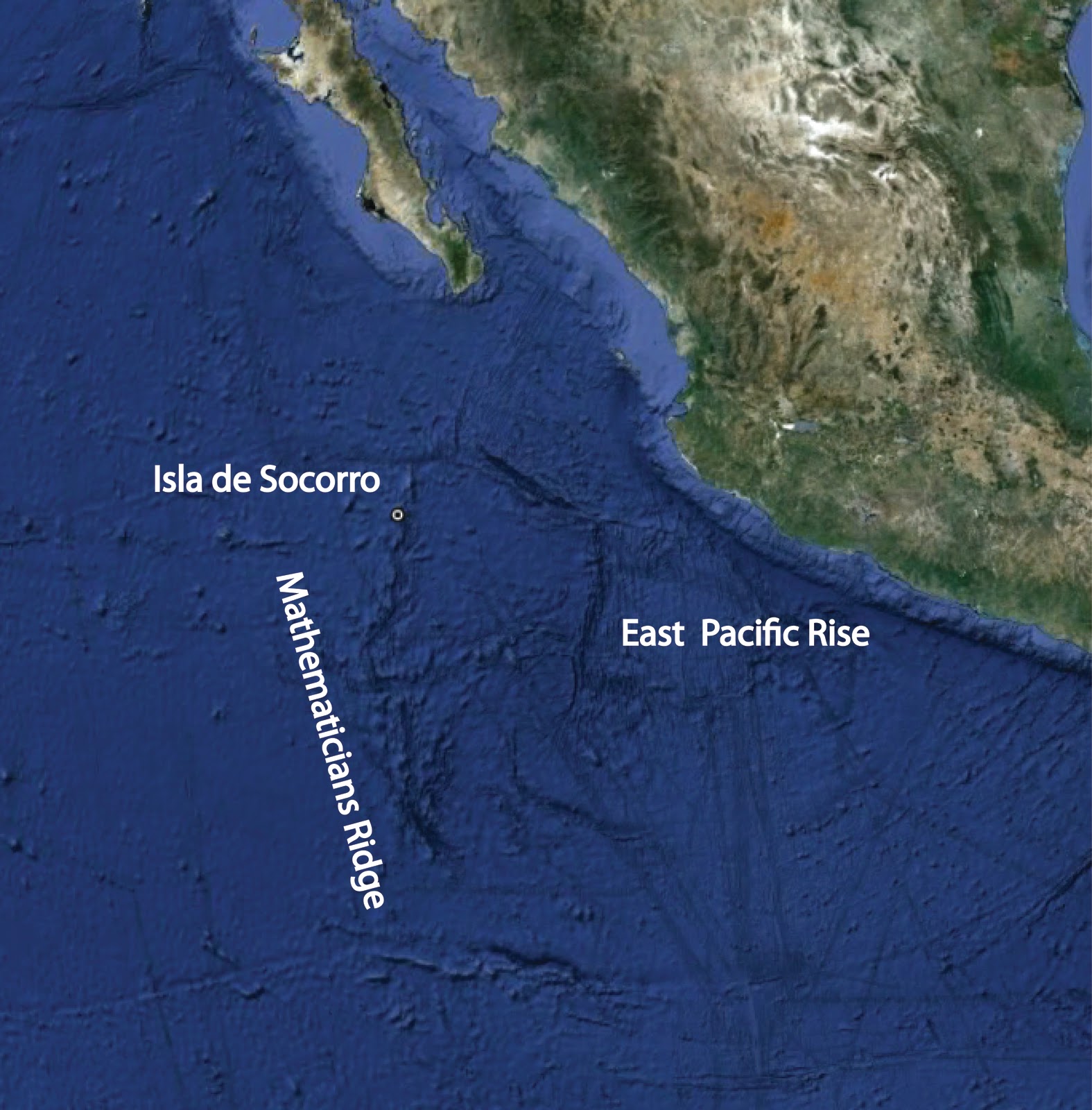 |
| from Google Earth |
The only major establishment on the island is a Mexican navy base, which is manned by approximately 20 soldiers all year around. The only way to access the island is via the Navy and so I found myself in the middle of the ocean floating towards Isla de Socorro on a navy ship. In fact, the navy ship was an American WWII ship sold to Mexico following the war.
After 36 hours of rolling with the waves in the open sea, the island came into view. It was definitely a volcanic island. The island was dotted with red and black cinder cones, lava flows, domes, and a prominent peak almost 4,000 ft above sea level. My team and I were heading to the peak to collect samples, thermal temperature data from the peak and radon data in the hydrothermal system in the area surrounding the peak.
We made our way up to the peak following our GPS coordinates and tracks. The islands ecosystems varied with altitude. We crossed through volcanic desert plains, through dense jungle and alpine terrain. The group dropped off their heavy packs and equipment in a forest a mile from the peak, of course I found myself too curious to stop short of the active volcanic dome.
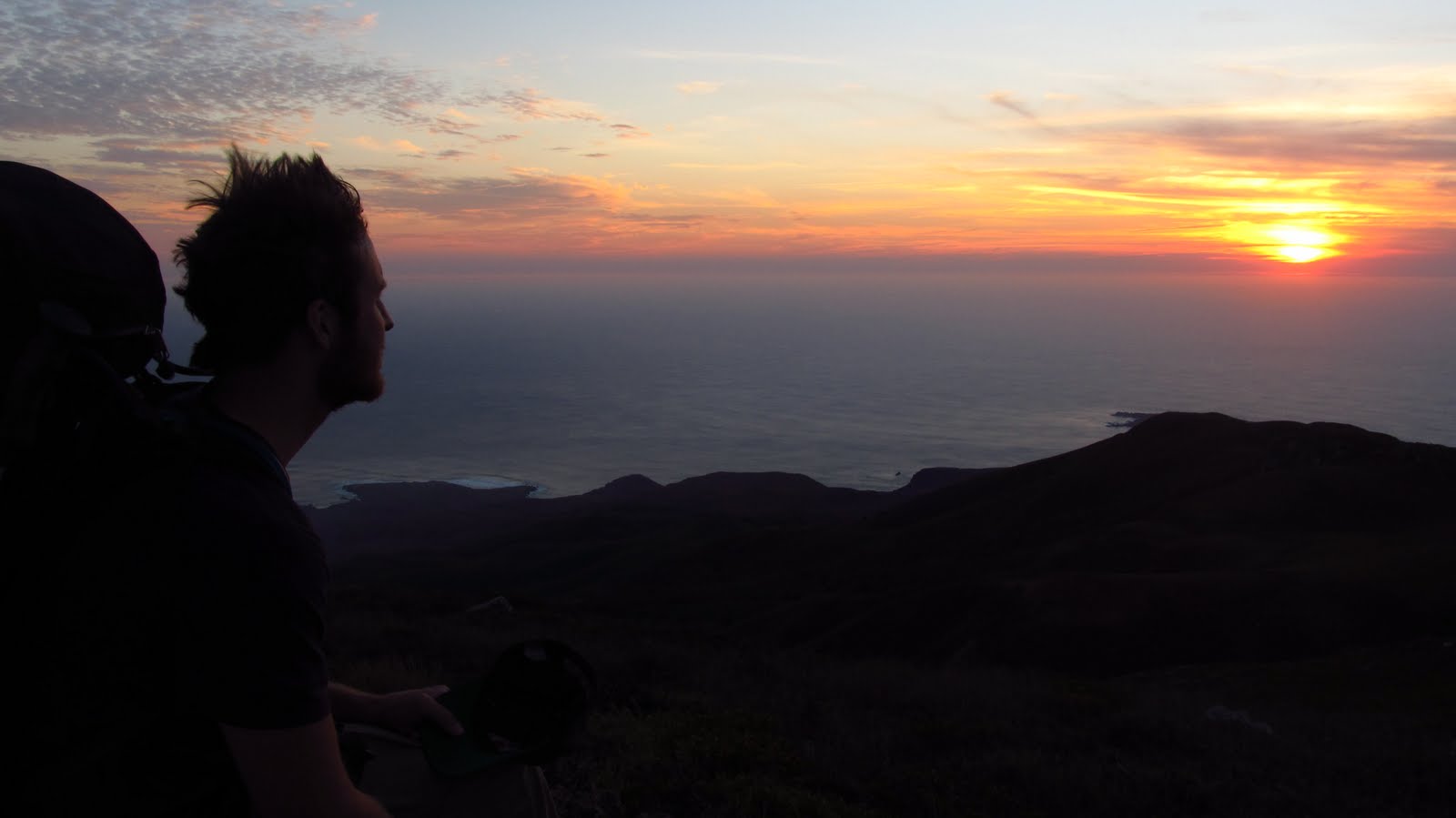 |
| Kirk Schleiffarth |
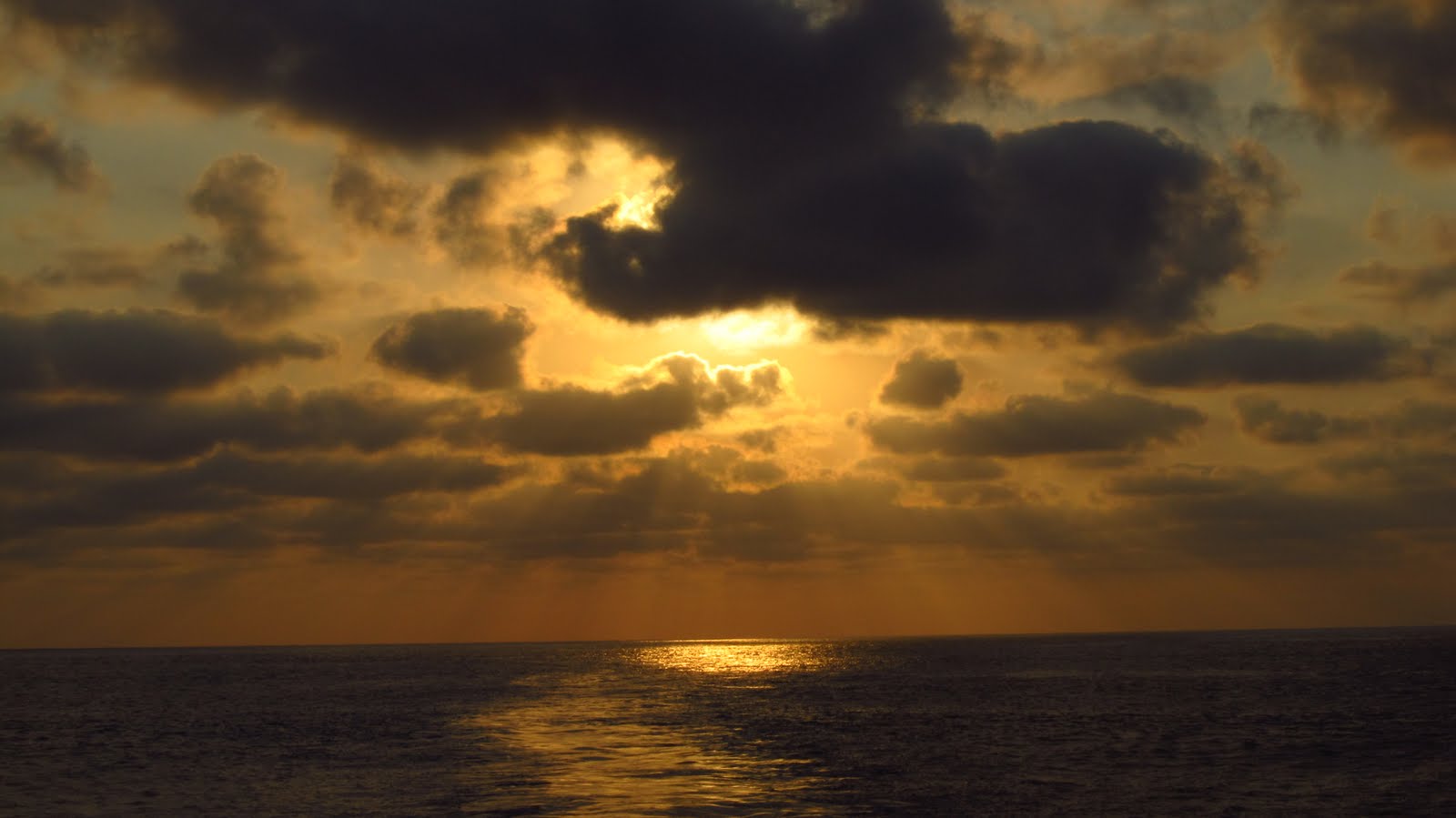
The view from the peak was incredible. I turned 360 degrees and scanned the whole coastline. Yep, I was on an island. 50 miles in the distance I could see another island, San Benedicto, part of the aborted rift. Its volcanic cone was protruding from the low clouds. I watched the sunset, snapped some pictures and found a nice flat place to set up my tent on the windy, dark summit.
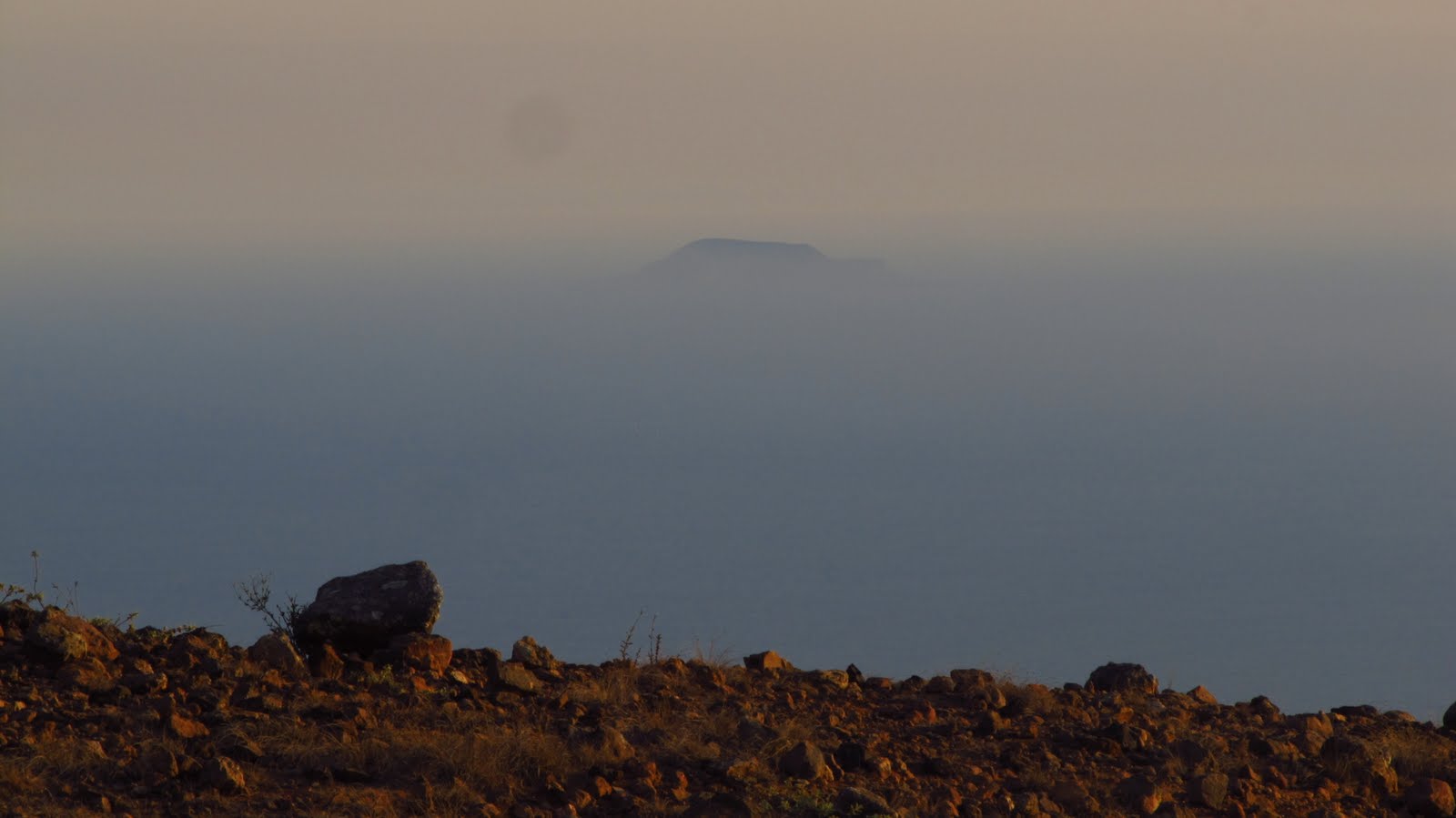 |
| San Benedicto |
I got up before sunrise with the thermal camera in hand and scanned the entire dome before the sun rose and could distort the true temperatures of the active dome. With camera in hand in the dark on a quiet island in the middle of the Pacific, I realized that I have a sweet job and a lot to anticipate.
At sunrise, my team and I analyzed and collected Radon measurements and gas measurements from the variety of fumaroles scattered all over the dome. The dome resembled Yellowstone topography with sulfur deposits, boiling mud pits, and steaming fumaroles.
 |
| Fumarole |
 |
|
View over the Pacific Ocean from Isla de Socorro
|
