



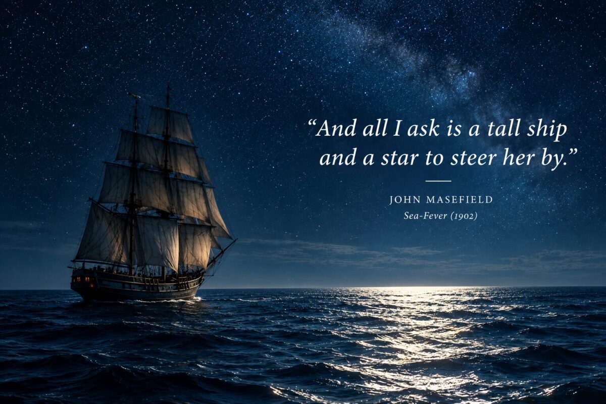
There was a time, in the history of celestial navigation, when the stars weren’t just something to admire. They were how you found your way across the oceans.
The story of celestial navigation is one of human curiosity and ingenuity: how people learned to find their way across seemingly endless oceans by looking to the sky. Using the sun by day and the stars after dark to work out where they were and which way to go. Sailing beneath the wide, star-filled skies of Baja brings the same sense of wonder, even with modern navigation tools at your fingertips.
History of Celestial Navigation: An Introduction
Long before modern navigation systems, mariners relied on visual landmarks to find their way along coastlines. But once land disappeared below the horizon, they needed another way to navigate. By observing the sun, stars, and other celestial bodies, sailors gradually developed techniques to estimate their position and chart a course across open water.
Let’s explore how celestial navigation transformed seafaring, the instruments that helped sailors find their way, and how you can experience the magic of sailing Baja today — this time, for the pleasure of the journey.
How Sailors Used the Stars to Navigate
For ocean navigation in the Northern Hemisphere, Polaris, known as the North Star, was particularly useful. Its position in the sky reveals which direction is north. Whereas in the Southern Hemisphere, the Crux Australis constellation, or Southern Cross, would help sailors estimate the direction of south.
Remarkably, the star’s height above the horizon tells you roughly how far from the pole you are. Sailors used a simple instrument called a sextant to measure this angle, helping them calculate their latitude and stay on course.
“I sailed with a free wind day after day, marking the position of my ship… by intuition, I think, more than by slavish calculations… The Southern Cross I saw every night abeam; the sun every morning came up astern; every evening it went down ahead. I wished for no other compass to guide me, for these were true.”
Joshua Slocum, Sailing Alone Round the World, CHAPTER XI (1900)
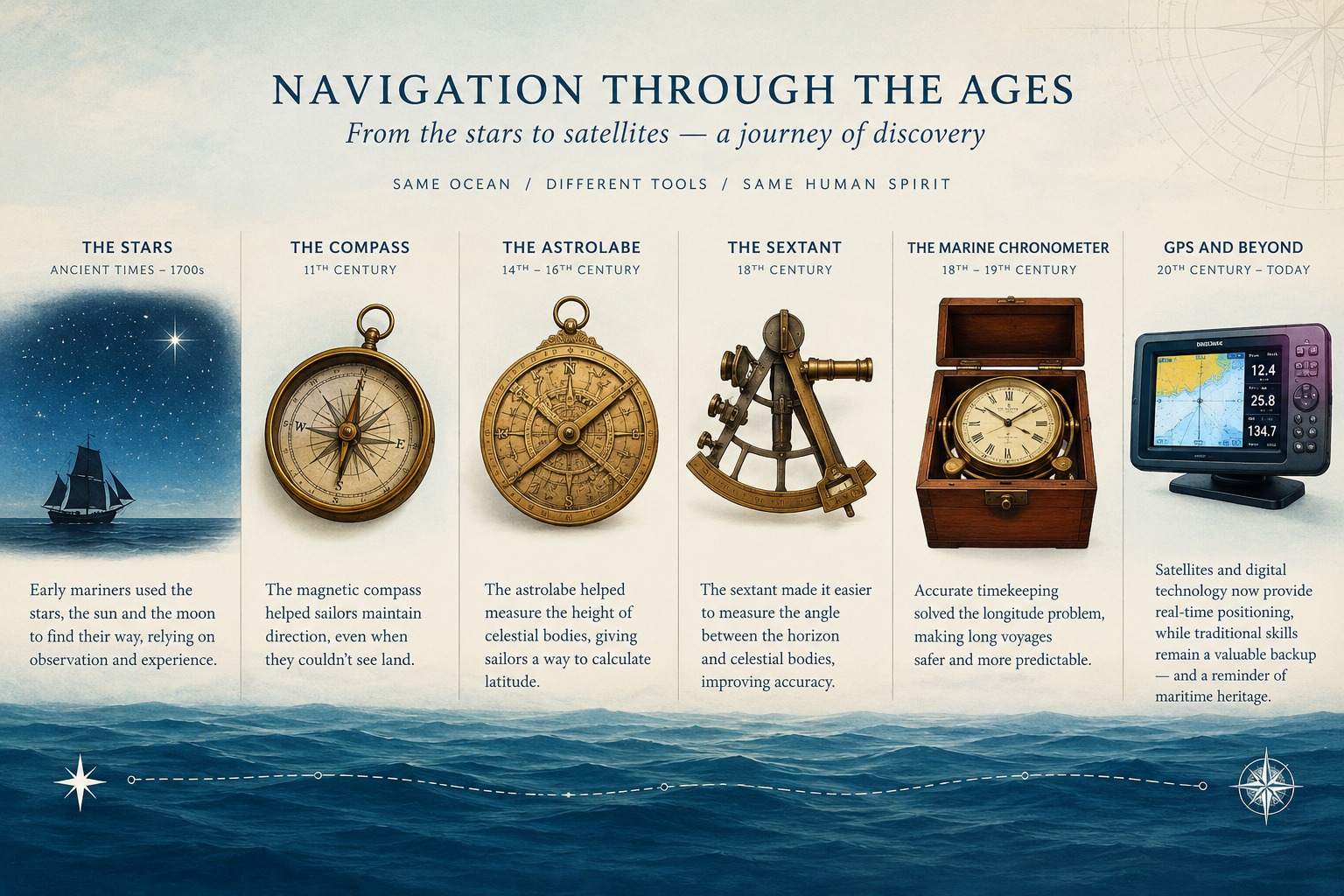
History of Celestial Navigation: The Longitude Problem
But knowing your north–south position was only part of the puzzle. Working out how far east or west you had travelled was much harder. For centuries, mariners struggled to calculate longitude accurately at sea, making the ‘search for longitude’ an important one. The development of reliable marine chronometers in the 18th century was a breakthrough, making longitude calculations more accurate and long ocean voyages far more predictable.
These advanced navigation techniques led to further successful voyages of exploration from Australia and New Zealand to Hawaii and even across the Antarctic Circle.
A Different Kind of Sailing Adventure
Today, we get to sail those same waters for a very different reason. To slow down, look up, and discover what’s out there.
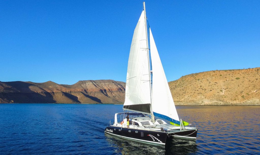
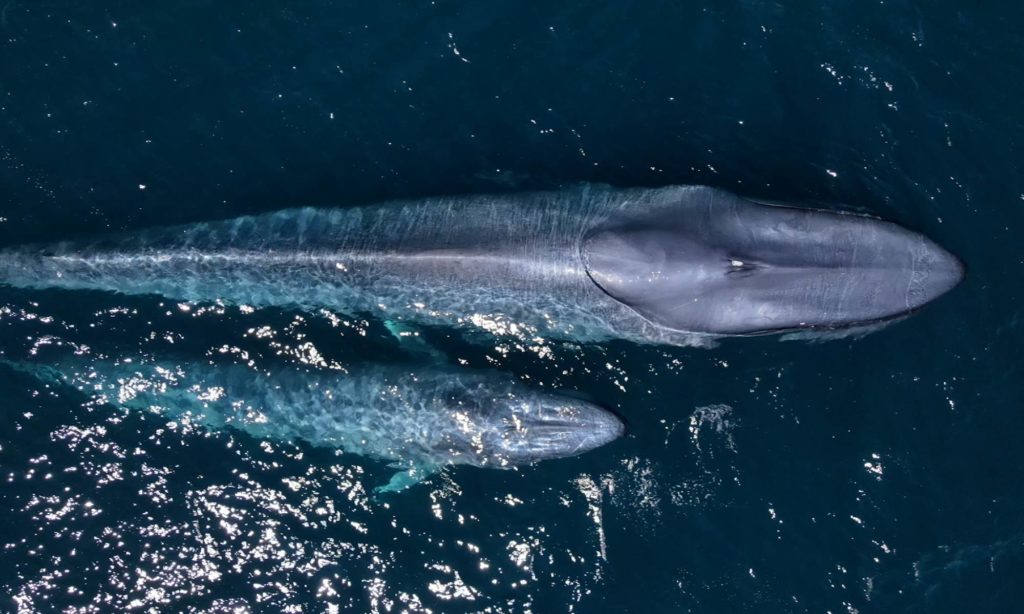
Aboard Mango Wind, our 45-foot sailing catamaran, days are spent exploring blue whale hotspots in the Sea of Cortez, also keeping watch for humpbacks, dolphins, and other marine life. We can drop anchor near a remote island, head ashore for a walk, or simply settle into the rhythm of life at sea.
It’s a chance to experience Baja from a different perspective, with the freedom to follow the conditions, explore remote coastlines, and enjoy the unexpected encounters that make time on the water so memorable.
A Day Aboard Mango Wind
Sometimes, a captain’s daily report captures the appeal of the experience better than any itinerary description could:
“We’re currently underway, searching for whales southbound. Yesterday, we had a huge pod of dolphins and two humpback whales, with about an hour of incredible action from both. Our guests had a really nice day; they loved it. We enjoyed some cheese and wine on the sundeck, watching the sunset and the stars.”
From a Mango Wind captain’s report, March 21
From Whale Encounters to Starry Skies
When night falls, there’s a different kind of discovery waiting.
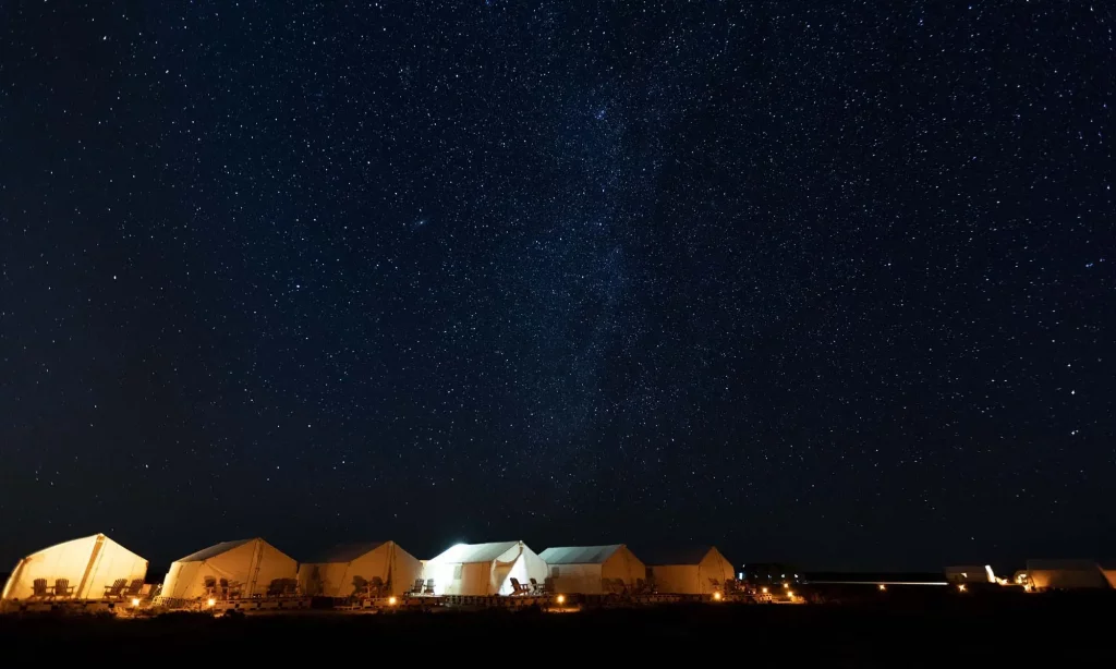
Away from the glow of city lights, the stars take centre stage. Throughout much of human history, celestial navigation was essential. Looking up at endlessly starry skies, it’s easy to understand why generations of sailors looked to the heavens for direction. There’s time to appreciate the simple pleasure of looking up when there’s nowhere else you need to be.
Depending on the season, the Sea of Cortez offers the chance to encounter blue whales, humpbacks, and other marine life. After dark, the pace changes. The day’s sightings become stories to share over dinner, with the stars providing a spectacular backdrop.
“Our journey started with boarding Mango Wind, a super cool catamaran that would be our home for the week. Straight away, the crew made us feel welcome, comfortable, and excited for the adventure ahead. It felt like the perfect base for sailing the Sea of Cortez.”
Guest Review, by Julia & Adriel
Experience Baja Under Sail
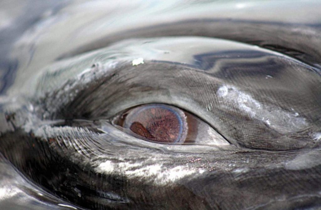
Our new 10-day Baja Ultimate Whales adventure combines six nights aboard Mango Wind with three nights of glamping and gray whales at San Ignacio Lagoon, which can bring entirely different kinds of encounters.
From sailing the Sea of Cortez to spending time with gray whales in the lagoon, it’s an opportunity to experience Baja’s remarkable marine life while enjoying the freedom and comfort of travelling by sea.
The tools may have changed, but the wonder of exploring the ocean remains. These days, we can take our time enjoying it.

Looking for diving inspiration?
Check out our guides on the ‘Best Time to Dive the Sea of Cortez’ and the ‘Best Time for Diving the Socorro Islands’.
Frequently Asked Questions
1. What is celestial navigation, and how did sailors use the stars to navigate?
Celestial navigation is a method of determining a ship’s position by observing the sun, moon, stars, and other celestial bodies. By measuring their angles above the horizon, consulting navigational tables, sailors could estimate their latitude and, with accurate timekeeping and additional calculations, determine their longitude. Before GPS, these techniques were essential for navigating across open oceans.
2. How did sailors calculate longitude before GPS?
Calculating longitude at sea was one of the greatest challenges in maritime history. While sailors could estimate latitude by observing the sun and stars, finding longitude required knowing the time at a fixed reference point. The development of accurate marine chronometers in the 18th century allowed navigators to compare that reference time with local time, making it possible to calculate longitude far more reliably.
3. What navigation tools did sailors use before GPS?
Sailors used a combination of tools and observations to navigate. Magnetic compasses helped them determine direction, while instruments such as the astrolabe, cross-staff, and sextant measured the angle of the sun or stars above the horizon. Marine chronometers later helped sailors calculate longitude. Together with charts, astronomical tables, and knowledge of winds and currents, these tools transformed ocean navigation.
4. What can you see while sailing in the Sea of Cortez?
The Sea of Cortez is renowned for its rich marine life, dramatic desert islands, and opportunities to encounter whales, dolphins, sea lions, and other wildlife. Sightings vary with the season and conditions, but winter and early spring offer opportunities to look for blue whales and humpback whales, alongside other marine species.
5. Can you explore the Sea of Cortez on a sailing holiday with Baja Expeditions?
Yes. Baja Expeditions’ 10-day Baja Ultimate Whales adventure combines six nights aboard Mango Wind, a 45-foot sailing catamaran, with three nights of glamping at San Ignacio Lagoon. Guests explore the Sea of Cortez in search of whales and other marine life before travelling to the lagoon for memorable encounters with gray whales. The itinerary combines time on the water, wildlife watching, and opportunities to experience Baja’s remote landscapes.